

Severe level 6 weather and snow warning for South Africa


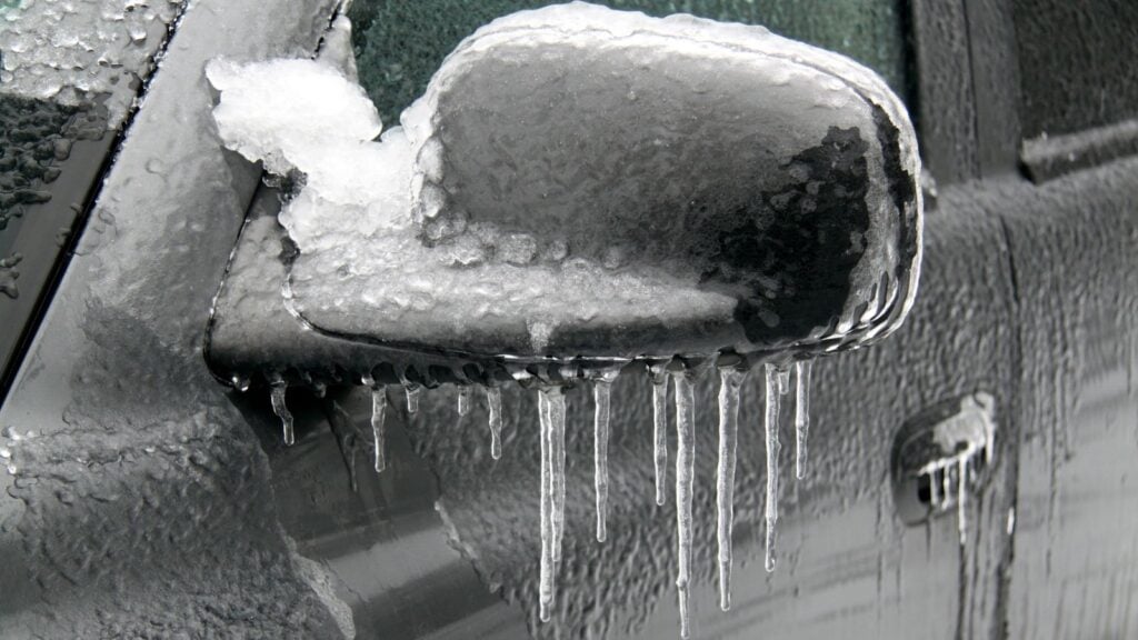
South Africa is bracing for severe weather this week, with heavy rain, damaging winds and disruptive snowfall expected across several provinces.
The South African Weather Service (SAWS) has warned that a level 6 system could bring significant snowfall to parts of South Africa from Sunday into Tuesday, with accumulations of between 25cm and 35cm possible in some areas.
SAWS said a steep upper trough, which is expected to develop into a cut-off low alongside a ridging high-pressure system, would bring significant moisture and very cold temperatures.
“The snowfall and/or high accumulations could result in danger to life, loss of livestock and crops, communities becoming inaccessible or cut off, disruptions to services, dangerous and difficult driving conditions, and pass closures,” the weather service said.
Siphesihle Kunene, lead meteorologist at Africa Weather, said in an interview with SABC News that the approaching system would initially be a cold front before developing into a cut-off low, which would intensify the severe weather.
“The main weather system that is approaching is a cold front, but it will transform or mature into a cut-off low. That is the system that is bringing all these severe weather conditions,” Kunene said.
He said snowfall was expected across parts of the Eastern Cape, Eastern Free State, southern Free State, western KwaZulu-Natal, Mpumalanga and parts of Gauteng.
“In terms of snowfall, it is the Eastern Cape, Eastern Free State, southern Free State, most of western KwaZulu-Natal, Mpumalanga and, last but not least, parts of Gauteng,” he said.
Rainfall is expected to be concentrated mainly over Mpumalanga, KwaZulu-Natal and the Eastern Cape, while strong winds could affect a much wider area.
“Most of the country can expect damaging winds of varying speeds, along with extremely cold temperatures. No one is spared from the extreme cold,” Kunene said.
Monday is expected to be the most important day, particularly for motorists and travellers returning home after the long weekend.
Be prepared
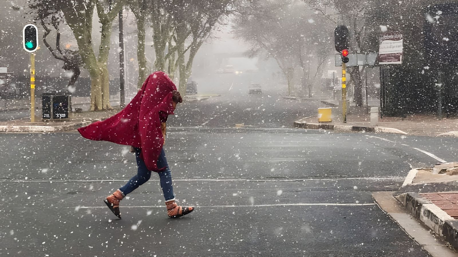
“The worst is really on Monday morning. That is the most important point to emphasise,” Kunene said.
He said Saturday and Sunday would largely provide an opportunity for communities to prepare, although winds in the Western Cape and rainfall over parts of the Eastern and Western Cape would begin developing from Sunday.
Rainfall is expected to spread into parts of KwaZulu-Natal from Monday morning, adding to the potential for difficult travel conditions.
Kunene urged farmers and vulnerable communities to prepare over the weekend, particularly in areas likely to experience freezing temperatures and snowfall. “They need to prepare for the cold spell that is coming,” he said.
The cold conditions could also last longer than initially expected. “Some models are suggesting that it does extend into Wednesday and Thursday. So, it is somewhat of a longer cold spell,” Kunene said.
Despite the severity of the immediate weather system, he said the broader seasonal outlook remained warmer and drier.
“In the short term, very cold, wet weather. Whereas in the long term, you can expect things to go back to hot and very dry,” he said, pointing to the influence of El Niño conditions.
Kunene urged residents not to underestimate the approaching system, despite its arrival relatively late in winter.
“Do prepare for this really cold spell that we are going to face. It will most likely mature or be most intense on Monday and going into Tuesday,” he said.


















 Loading ...