

Extreme weather warning for South Africa


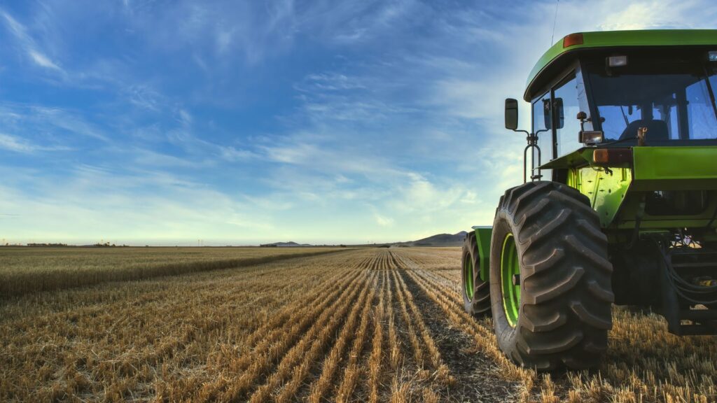
The South African Weather Service (SAWS) has warned South Africans to brace for much higher temperatures and lower rainfall in the months ahead.
SAWS said the latest predictions indicate El Niño could intensify and become the strongest event in history.
A strong El Niño occurs when the three-month average sea surface temperature anomalies in the east-central tropical Pacific Ocean exceed 1.5°C above the normal climate levels.
In a very strong El Niño, this region of the ocean can be 2°C warmer than usual. Recent forecasts suggest that the current El Niño event is likely to exceed the 3°C threshold.
According to SAWS, the latest weekly average sea surface temperature anomalies in the east-central tropical Pacific Ocean are already above the threshold that designates a very strong El Niño.
“Most El Niño events bring below-normal rainfall and above-normal temperatures to the southern African region,” said SAWS.
“Two of the most impactful El Niño events for the region were those of 1982/83 and 2015/16, which brought widespread drought.”
SAWS said that the strong El Niño event of 1997/98 was associated with slightly above-normal rainfall over parts of South Africa’s summer rainfall region.
“It should therefore be noted that, although below-normal rainfall is statistically the most likely outcome in southern Africa this summer, not every El Niño event is associated with drought,” said SAWS.
The weather service’s most recent forecast for October to December 2026 indicates that less rainfall is expected across many parts of South Africa.
“The rainfall and temperature forecast for November 2026 to January 2027 is very similar to that for October to December 2026, with drier and warmer conditions over most of the country the most likely outcome,” said the weather service.
“It should be noted that the expected very strong 2026/27 El Niño event, combined with global warming, will likely result in 2027 being the warmest year ever recorded.”
SAWS said the 2015/16 El Niño event brought unprecedented heatwaves across southern Africa.
“These heatwaves have the potential to be severe. However, as current forecasts indicate the potential for an exceptionally strong El Niño, uncertainty remains about its eventual strength and regional impacts.
“For this reason, the extent of expected heatwaves and water scarcity associated with the event will be closely monitored and communicated to disaster management structures, weather-sensitive industries, the media and the public,” SAWS said.
The weather service has advised the public and weather-sensitive industries to follow monthly seasonal forecast updates and daily short-term weather forecasts to prepare for heatwave conditions and other high-impact weather events.
South Africa is a fire risk

Earlier this year, risk experts warned that the drier conditions caused by El Niño could create the ideal conditions for wildfires across the country.
Past El Niño events have had devastating consequences for the country’s agricultural sector, which relies on consistent rainfall to thrive.
Between 2014 and 2016, many regions experienced drought conditions that significantly decreased food production.
Maize farming was particularly hard-hit, with only 8.9 million tonnes produced, while the annual demand is approximately 12 million tonnes.
Other crops also suffered during this period, leading to a notable decline in production across most farming operations.
“We are heading for an El Niño weather pattern or cycle for the next agricultural season, and expectations are that we’re likely to see a drier year,” FNB senior agricultural economist Paul Makube said in an interview with BusinessDayTV.
“That is going to be a concern on the producer side in terms of how much to plant. If we experience dryness, we are likely to see a contraction, especially in the grain industry or the summer crop industry.”
However, Makube highlighted that South Africa is entering the season in a significantly stronger position than during the previous drought cycles after two consecutive La Niña seasons caused large amounts of rainfall.

















 Loading ...